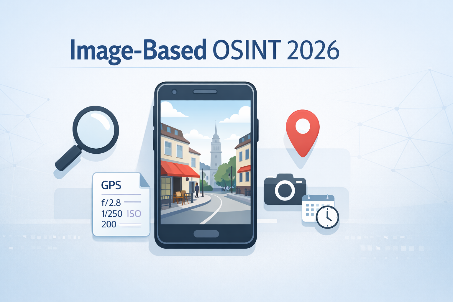
A single picture can reveal much more than we realise in the modern digital world. Cybersecurity experts, investigators, and followers can extract hidden information from photos, including location, time, and even identity, using OSINT (Open Source Intelligence) techniques.In 2026 image-based OSINT has grown in importance due to the widespread sharing of images on social media, messaging apps, and online platforms. A seemingly unremarkable image can offer useful hints that aid in location identification and digital footprint tracking when used appropriately.
Understanding Image Metadata (EXIF Data)
The majority of photos have metadata, also known as EXIF data, which can include the camera type, date, time, and GPS coordinates. Users can easily extract this information using web-based platforms like metapicz.com or tools like ExifTool.However for privacy reasons, social media sites frequently remove EXIF data. Other hints such as resolution, file size or compression artefacts can help identify locations even in the absence of metadata. These minute details are frequently combined by analysts to produce precise evaluations.
Reverse Image Search
Reverse image search is another crucial method that aids in locating online copies of the image or comparable visuals. For determining the source of a photo, sites like Yandex Images, Bing Visual Search and Google Images are great.
Users can identify landmarks, find additional context that can reveal the location, and find out if the same scene has been posted elsewhere by uploading a photo. Photos of identifiable structures, local landmarks, or objects are especially helpful for reverse searches.
Geolocation using Visual Indications
Geolocation using visual cues can be very successful even in a lack of metadata or online duplicates.Street signs, automobiles, plants, geography, and styles of architecture are examples of elements that analysts look.These visual components can be matched to actual locations using programs like Google Maps or Google Earth.
Collective analysis can be very effective when communities on Reddit or OSINT forums assist in distributed location identification based on minute photo details.
SunCalc Method Analysis of Sunlight and Shadows
The SunCalc method is a complex technique that looks at sunlight and shadows in photos.The shadows’ length and direction can be used to determine the photo’s approximate latitude and time of day.Investigators can further reduce the number of possible locations by generating sun positions based on possible coordinates using tools like https://suncalc.net/.
Social Media OSINT Integration
Image-based OSINT is improved by social media integration, particularly when the image is shared online.Analysts can obtain historical context to support visual analysis by looking through timestamps, geotags, keywords, comments, hashtags, and profile history.The possibility of pinpointing location or even tracking the photographers digital footprint is increased by combining metadata, visual cues, and social media intelligence.
Furthermore, social media OSINT can highlight relationships and patterns that are not immediately apparent from a single image. Investigators can find recurrent locations, frequent travel locations, or even routine behaviours of the subject by examining several posts from the same account or related accounts.A more comprehensive intelligence picture is produced the combining these insights with shared media, tagged friends and public comments.In addition to improving geolocation accuracy this layered approach offers a more comprehensive context that aids analysts in comprehending the surroundings, daily activities, and networks connected to the image.
Conclusion
In conclusion, image based OSINT has become an essential and powerful tool in 2026 for cybersecurity professionals, investigators, journalists, and researchers alike.When properly examined a single image can provide vital information about location, timing, and context in addition to revealing much more than its surface content.Even in situations where traditional data, such as GPS coordinates, are not available, analysts can still piece together accurate information by methodically extracting metadata, conducting reverse image searches, and looking at visual cues like landmarks, terrain, and environmental details.
The depth of intelligence obtained from visual content is further enhanced by methods like sun and shadow analysis, which add an additional layer of precision and enable investigators to estimate the time of day or approximate geographic location.Additionally, including social media intelligence transforms image-based OSINT into a thorough investigative method rather than just an analytical exercise.Analysts can cross-reference various data points, confirm reliability, and identify behavioural patterns by looking at geotags, profile histories, hashtags, and related posts.
In addition to increasing geolocation accuracy, this combined approach offers helpful background information about the topic or surroundings, facilitating more responsible and informed decision making.Even though these methods are very successful, it is essential to use them ethically and within the law to protect people’s privacy and handle sensitive data in an appropriate manner.When applied properly, image-based OSINT enables professionals to make actionable insights from visual data that would otherwise go unnoticed and unearth hidden truths.